Days after launch, bridge meant to ease traffic snarls ends up causing them
Source Entity
Ritu Sharma
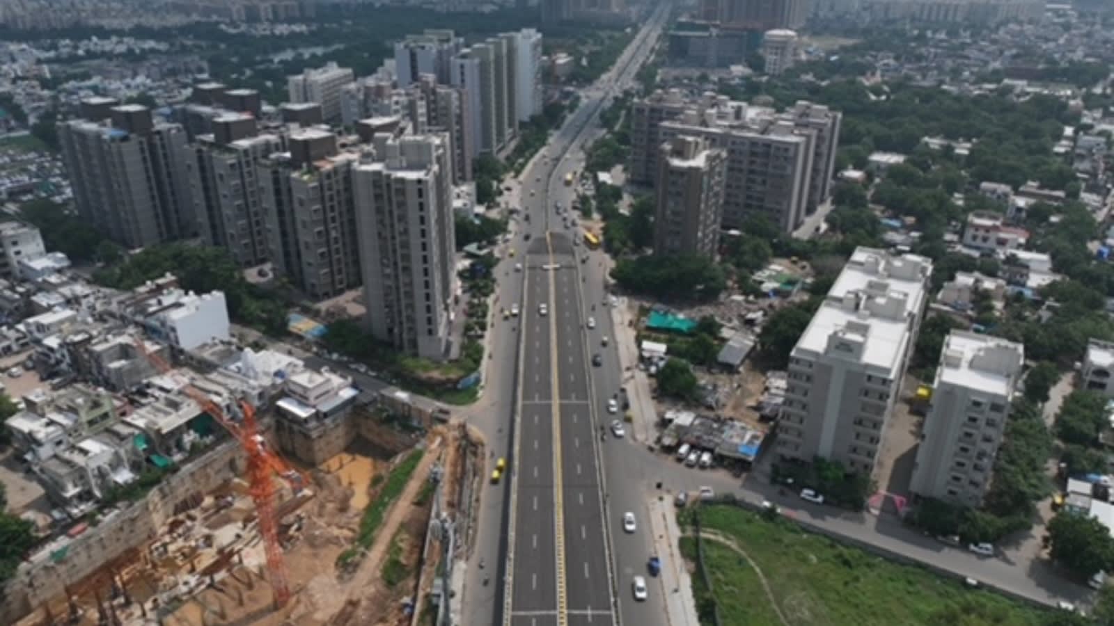
Authorities in Delhi and Ahmedabad are grappling with severe traffic congestion following the recent inauguration of new infrastructure projects. Both cities are implementing corrective measures, including coordination with mapping services and structural modifications to address design flaws.
Infrastructure Challenges: The Cost of Urban Expansion in India
Recent developments in Delhi and Ahmedabad underscore a growing crisis in Indian urban infrastructure planning. While the inauguration of the Barapullah Phase-III corridor in Delhi and the Makarba Railway Overbridge (ROB) in Ahmedabad were intended to alleviate congestion, both projects have inadvertently triggered severe traffic bottlenecks. These incidents highlight the friction between rapid urban development and the reality of on-ground traffic management.
The Delhi Barapullah Phase-III Crisis
In Delhi, the newly opened Barapullah Phase-III corridor is experiencing significant gridlock. Investigations, including a drone survey, identified a critical bottleneck at the Sundial Park merger near Sarai Kale Khan. The issue was compounded by digital misinformation; Google Maps incorrectly showed the route as clear, leading commuters into already congested lanes. The Delhi Traffic Police is currently working to synchronize real-time data with mapping services to prevent further influx into the area.
Accountability in Ahmedabad
Simultaneously, the Ahmedabad Municipal Corporation (AMC) has taken a firm stance by issuing a show-cause notice to DELF Consulting Engineers (India) Pvt Ltd. The Makarba ROB, inaugurated by Chief Minister Bhupendra Patel on September 24, became a source of chaos within just two weeks of operation. The AMC is demanding a technical explanation regarding the discrepancy between the initial traffic studies and the current, problematic flow, prompting immediate road-widening efforts.
The Role of Data and Technology
These events illustrate the increasing reliance on digital tools like Google Maps to manage urban transit. However, as seen in the Delhi case, technology is only as effective as the data fed into it. When digital platforms do not reflect the physical reality of lane mergers or bottlenecks, they can exacerbate traffic density rather than distribute it, turning infrastructure solutions into navigation traps.
Lessons for Future Urban Planning
Both scenarios point to a failure in the transition phase between project completion and actual traffic integration. The need for rigorous post-inauguration monitoring is clear. Whether through physical interventions like adding extra lanes or technical fixes like real-time mapping updates, these cities must prioritize the adaptability of their infrastructure to handle the immediate impact of new transit routes.
Future Outlook
As India continues its aggressive push for improved connectivity, the focus must shift from mere construction to post-launch resilience. The demand for accountability from consultants, as seen in Ahmedabad, and the proactive coordination between law enforcement and mapping companies in Delhi, represent a necessary evolution in how Indian metropolitan areas manage the growing pains of modern infrastructure.