Mapping of two Western Ghats districts shows much of proposed ESA overlaps with Notified Forests, Protected Areas, or existing ESZs
Source Entity
India Latest News: Top National Headlines Today & Breaking News | The Hindu
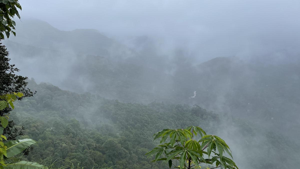
A citizen-led initiative has mapped the proposed Western Ghats Ecologically Sensitive Area (ESA) in Kodagu and Udupi to clarify its impact on local lands. The study reveals significant overlap with existing protected areas, occurring amid political pushback from the Karnataka legislature.
Clarifying the Western Ghats ESA Controversy
The ongoing discourse surrounding the conservation of the Western Ghats has reached a critical juncture, characterized by a mix of environmental advocacy and intense political resistance. At the heart of this friction is the Centre’s draft notification for an Ecologically Sensitive Area (ESA), a proposal designed to limit industrial and infrastructure expansion in this biodiversity hotspot. The Paani Earth Foundation, a citizen-led initiative, has stepped into this debate to provide empirical clarity, mapping the proposed ESA boundaries against existing land-use data in the Karnataka districts of Kodagu and Udupi.
The Intersection of Conservation and Land Use
By utilizing spatial layers from the Karnataka Geographical Information System (KGIS), the Foundation’s study provides a vital reality check. Their analysis indicates that a substantial portion of the proposed ESA already falls within Notified Forests, Protected Areas, or existing Ecologically Sensitive Zones (ESZs). This finding is significant because it challenges the narrative that the new notification would impose entirely new restrictions on currently unencumbered private or agricultural land. By superimposing these legal layers, the Foundation seeks to dismantle misconceptions that have fueled public anxiety regarding the potential loss of land rights.
Political Resistance and Legislative Stance
The timing of this mapping project is particularly relevant given the recent actions of the Karnataka state legislature. On September 22, the assembly passed a unanimous resolution rejecting the K. Kasturirangan Committee report in its current form. This legislative pushback, which followed the publication of the Centre’s draft notification on July 27, reflects the concerns of residents and local representatives who fear that strict environmental regulations could stifle local livelihoods and regional development. The resolution highlights the deep-seated tension between state-level economic interests and national-level conservation mandates.
Navigating the 'Cacophony' of Data
The term 'cacophony' aptly describes the current environment, where misinformation often dictates the policy debate. Because the Western Ghats are a UNESCO World Heritage site, the stakes for conservation are globally significant. However, the governance of these landscapes is inherently local. The Paani Earth Foundation’s decision to focus on specific districts demonstrates a shift toward data-driven, localized advocacy that attempts to bridge the gap between abstract policy documents and the day-to-day realities of those living on the ground.
Future Implications for Policy
Moving forward, the overlap identified by this mapping exercise suggests that the path to a finalized ESA notification may require more nuanced spatial planning. If the proposed ESA is largely redundant with existing protections, the government may need to clarify exactly which 'new' areas are being targeted and why. Conversely, if the mapping proves that the impact on local communities is less severe than feared, it could provide a foundation for constructive dialogue between the Centre, the state, and the local stakeholders who currently view the K. Kasturirangan report as an existential threat.
Conclusion
Ultimately, the situation in Kodagu and Udupi serves as a microcosm for the broader struggle of reconciling environmental protection with human geography. While the Karnataka legislature remains firmly opposed to the current iteration of the draft, tools like the one provided by the Paani Earth Foundation offer a pathway toward evidence-based policy making. By stripping away the layers of uncertainty with spatial data, stakeholders may eventually find a middle ground that ensures the survival of the Western Ghats without compromising the socio-economic stability of its inhabitants.
Verification Required?