Buildings collapse, panic residents flee: Videos show moment powerful 7.7 earthquake hit Indonesia
Source Entity
Latest News: Todays Latest News Headlines from India & World | Hindustan Times | Hindustan Times
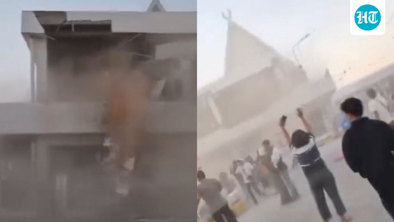
A powerful 7.7-magnitude earthquake struck off the coast of Indonesia's Flores region, triggering a tsunami warning. Authorities are currently assessing potential structural damage as strong aftershocks continue to impact the area.
Massive 7.7 Earthquake Rocks Indonesia's Flores Region
A powerful 7.7-magnitude earthquake struck off the coast of Indonesia’s Flores region early Saturday, triggering immediate concerns regarding seismic stability and public safety. According to the United States Geological Survey (USGS), the seismic event occurred at a shallow depth of approximately 10 km, with its epicenter located roughly 68 km north-northwest of the city of Ende. The shallow nature of this quake, combined with its significant magnitude, necessitated an immediate tsunami warning for the coastal communities of East Nusa Tenggara.
Seismic Context and Aftershock Activity
Following the initial 7.7-magnitude tremor, the region experienced significant instability marked by two strong aftershocks measuring 5.6 and 5.9 in magnitude. These subsequent tremors are characteristic of high-magnitude shallow quakes, as the crust continues to adjust to the primary tectonic rupture. Both the USGS and the European-Mediterranean Seismological Centre (EMSC) have been actively monitoring the situation, though initial variations in magnitude reporting—ranging from 6.9 to 7.7—highlight the complexities involved in real-time seismic data collection during the early stages of a disaster.
Geographical Vulnerability of Flores
Indonesia sits squarely on the Pacific 'Ring of Fire,' a region known for intense volcanic and tectonic activity where several tectonic plates meet. The Flores region, in particular, is prone to seismic events due to the active subduction zones in the surrounding seas. The depth of 10 km reported by the USGS is considered particularly dangerous, as shallow quakes often result in more intense shaking at the surface, significantly increasing the probability of structural compromise to buildings and infrastructure.
Emergency Response and Tsunami Risks
Indonesia’s national geophysics agency, BMKG, acted swiftly by issuing a tsunami warning for coastal residents. The warning serves as a critical precautionary measure, urging inhabitants near the shoreline to relocate to higher ground. Given the proximity of the epicenter to populated areas on Flores island, the potential for localized tsunami waves remains a primary concern for emergency managers tasked with protecting coastal populations.
Implications for Local Infrastructure
Early reports and circulating footage suggest that the impact of the earthquake has already resulted in structural damage to buildings on the island. As search and rescue efforts begin, the extent of the destruction will likely become clearer. The combination of structural integrity issues, potential tsunami surges, and the psychological impact of repeated aftershocks creates a challenging environment for local authorities as they coordinate disaster relief and public safety protocols.
Future Outlook and Monitoring
As the situation remains fluid, the priority for regional authorities is the mitigation of secondary risks, such as landslides or further structural failures caused by ongoing aftershocks. International monitoring agencies will continue to track seismic data to provide updated hazard assessments. The resilience of the Flores community will be tested in the coming days as the focus shifts from immediate evacuation to damage assessment and the provision of aid to those affected by this significant geological event.
Verification Required?