Assam Floods: Why Extreme Rainfall Turns Into A Recurring Disaster
Source Entity
NDTV News Search Records Found 1000
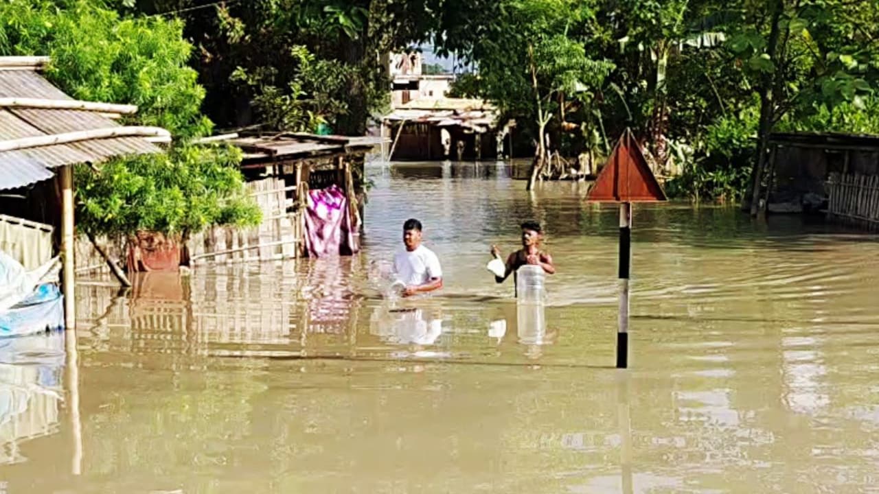
Assam is facing its worst flooding in 60 years, with districts like Charaideo, Jorhat, and Sivasagar experiencing unprecedented devastation. The death toll has reached 68, as authorities struggle to manage the impact on hundreds of thousands of residents.
The Unprecedented Deluge in Assam: An Analysis
Assam is currently grappling with what government officials have described as the worst flooding event in 60 years. While the state is historically accustomed to seasonal monsoon flooding, the current disaster has reached a critical threshold, shifting the narrative from a manageable annual occurrence to a severe humanitarian crisis. With the death toll currently standing at 68, the scale of human loss underscores the gravity of the situation as emergency services scramble to address the needs of over 3 lakh affected individuals.
The Shift in Geographic Impact
Perhaps the most alarming aspect of this year's deluge is the involvement of districts that were historically considered safe from major flooding. Charaideo, Jorhat, and Sivasagar, which have long been viewed as relatively untouched by the Brahmaputra’s seasonal overflow, have now become the focal points of the disaster. This shift suggests that the traditional safety maps used for disaster management in Assam are becoming obsolete, as the water reaches areas that once served as buffers or safe havens for the displaced.
Geographical Vulnerabilities and Climatic Uncertainty
Assam’s unique topography, characterized by two valleys surrounded by mountainous regions with narrow outlets into Bangladesh, has always rendered it a natural waterscape. As academician Arupjyoti Saikia detailed in his work, the Brahmaputra behaves as a volatile, living system. When heavy rainfall occurs in the hills of Arunachal Pradesh, the water converges in these narrow corridors, causing rapid inundation. However, the current situation is exacerbated by what scientists describe as "climatic uncertainty," where the traditional patterns of the monsoon are no longer predictable.
The New Normal of Disaster Management
The assertion that climatic uncertainty is the "new normal" implies that the northeastern region of India must undergo a fundamental shift in its approach to disaster mitigation. If historically safe districts are now vulnerable, it suggests that the climate crisis is overriding geographical protection. The government’s admission that this is the worst situation in six decades highlights a failure of current infrastructure to keep pace with the increasing intensity of weather events, necessitating a move from reactive relief to proactive, long-term climate resilience.
Socio-Economic Implications and Future Trends
With over 4.45 lakh people impacted across multiple districts, the economic toll on agriculture, infrastructure, and housing will be substantial. The recurring nature of these floods threatens the long-term stability of the region, potentially leading to mass displacement and the loss of livelihoods. Moving forward, the state must integrate advanced meteorological forecasting with updated land-use policies to protect vulnerable populations in regions that were previously deemed safe from the river's path.
Multiple Citing Sources
Verification Required?