Tornado touchdown in Clayton, NC? Latest radar as warnings issued for Johnston and Wake counties
Source Entity
Latest News: Todays Latest News Headlines from India & World | Hindustan Times | Hindustan Times
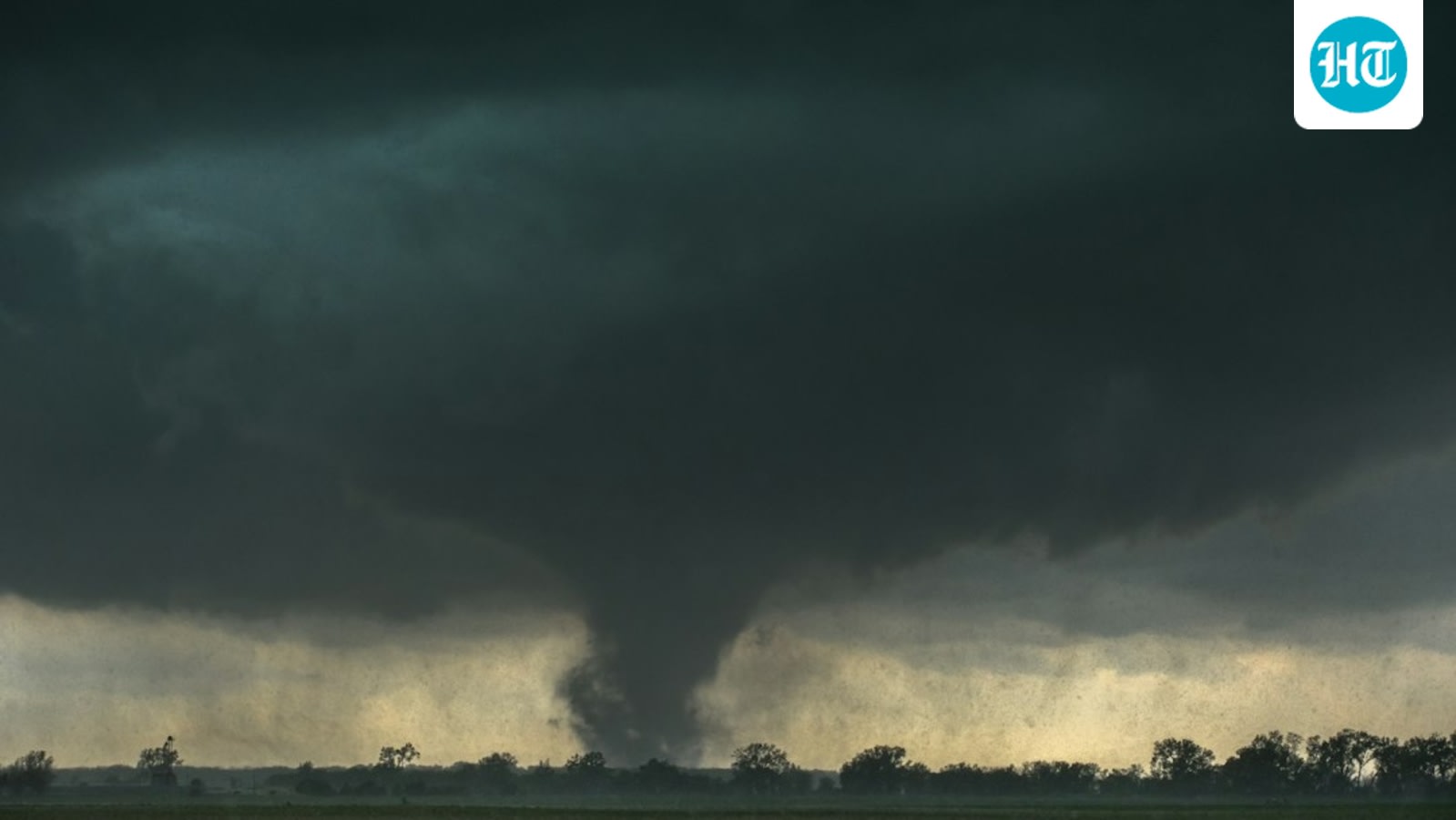
Severe weather conditions, including confirmed and possible tornadoes, have impacted multiple North Carolina counties. Authorities have issued urgent warnings for residents in the path of these storms to seek shelter immediately.
Severe Weather Outbreak Across North Carolina
North Carolina is currently grappling with a significant severe weather event, characterized by multiple radar-indicated tornadoes and confirmed tornadic activity. The National Weather Service (NWS) has been actively monitoring the situation, issuing a series of warnings for Cumberland, Johnston, Wake, and Duplin counties as the storm cells traverse the state.
Evolving Situations in Cumberland and Clayton
In Cumberland County, radar signatures indicated rotation in a storm moving through the Fayetteville area, prompting a Tornado Watch (680) that remained in effect until 5:00 p.m. EDT. While storm chasers and local radar imagery suggested possible tornadic activity north of Fayetteville, official confirmation of a touchdown in that specific area remained pending. Similarly, in Clayton, North Carolina, residents and storm chasers reported potential tornado sightings via radar, highlighting the widespread nature of the atmospheric instability affecting Wake and Johnston counties.
Confirmed Activity in Duplin County
The situation escalated significantly in Duplin County, where the NWS confirmed a tornado near Wallace, moving northeast at 25 mph. This specific system posed a direct threat to communities including Chinquapin, Greenevers, and Teachey. Radar data further indicated a significant tornado near Greenevers, necessitating urgent safety protocols for those in the path of the storm.
Geographic Progression and Impact
As the storm system progressed, it expanded across Duplin, Jones, Lenoir, and Onslow counties. Reports confirmed that a large tornado continued its path past Beulaville and Potters Hill, tracking toward Pleasant Hill. The duration of the warning was extended to 2:45 p.m. EDT to account for the movement of the storm, placing communities like Pink Hill and Hargetts Crossroads under immediate threat.
Emergency Response and Safety Measures
In response to the confirmed tornado on the ground, emergency management officials have reiterated standard safety procedures. Residents within the warned zones are instructed to seek immediate shelter in an interior room on the lowest floor of their homes, staying clear of windows. The rapid succession of warnings across these counties underscores the volatile and unpredictable nature of the current weather front.
Broader Implications and Future Trends
This weather event serves as a reminder of the heightened risk of severe storm outbreaks in the region. As meteorological technology improves, the ability to track rotation via radar provides critical lead time for public safety. However, the reliance on real-time radar analysis and storm spotter reports remains vital for ground-level verification. Moving forward, authorities will likely focus on post-storm damage assessments to classify the intensity of the tornadoes and evaluate the structural impact on these North Carolina communities.
Verification Required?