Heatwave conditions to return for many as UK temperatures to peak at 35C
Source Entity
BBC News
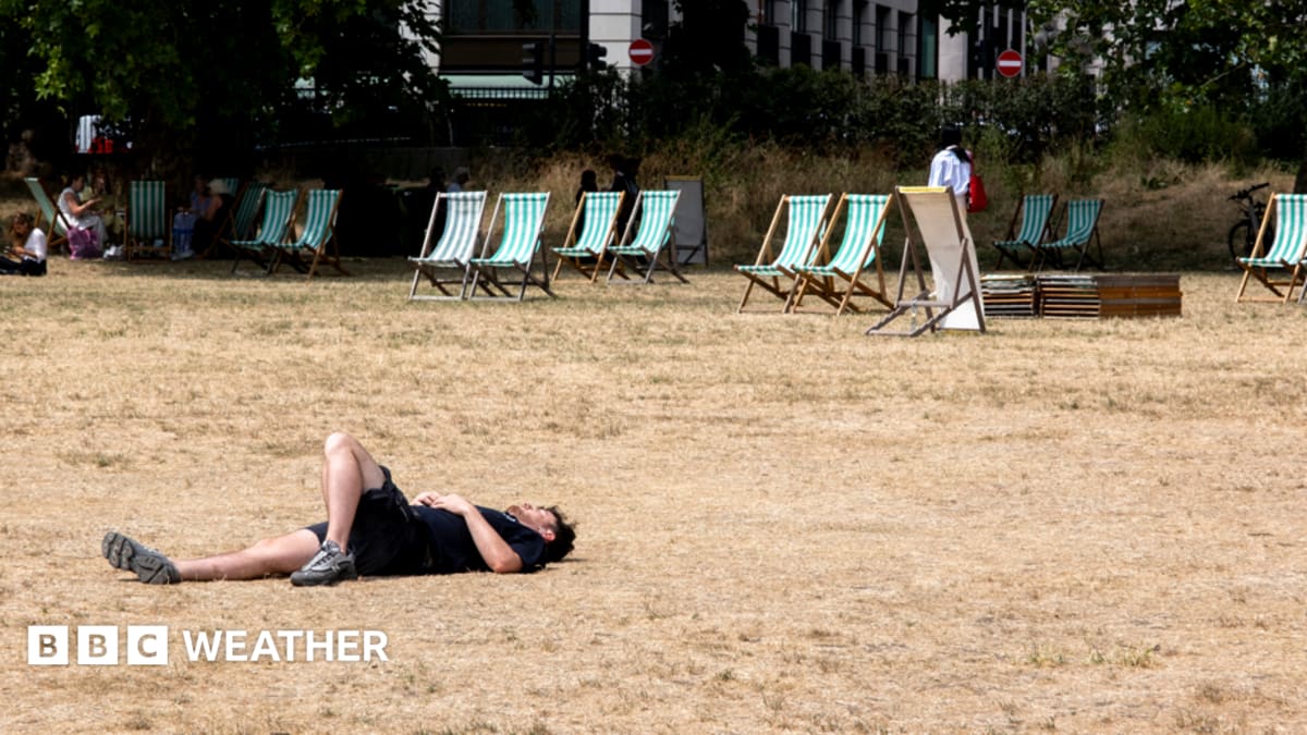
The UK is experiencing a brief respite from its third heatwave of the year as cooler air and light rain arrive. However, meteorologists predict a return to high-pressure conditions next week, likely leading to another surge in temperatures.
The Fluctuating Climate: UK Heatwave Patterns
A Temporary Respite
Following a period of intense atmospheric pressure, the United Kingdom has recently experienced a cooling trend. For the majority of England and Wales, the third major heatwave of the year concluded last weekend as cooler air masses settled over the region, effectively moderating maximum temperatures to a more comfortable range of 20-24C. This shift provided a necessary reprieve after weeks of sustained dry weather that had gripped much of the nation.
Anomalies in Usk and Exeter
Despite the broader cooling trend, localized data reveals persistent anomalies. Specifically, Usk and Exeter have maintained heatwave criteria for 20 consecutive days, marking the longest sustained heat event of the year in these areas. While these locations are finally expected to see their heatwave status conclude as weekend rain arrives, their experience underscores the uneven nature of regional climate patterns and how local geography can trap high-pressure systems for extended durations.
The Impact of Rainfall
While the weekend forecast includes precipitation, it is crucial to note that the relief will be minimal. The anticipated rain is not expected to be substantial enough to fully address the long-term dry conditions that have characterized the recent weeks. This light rainfall serves more as a fleeting dampening of the heat rather than a significant meteorological shift capable of restoring soil moisture or replenishing reservoirs.
The Return of High Pressure
Looking toward the upcoming week, the meteorological outlook suggests a return to volatility. High-pressure systems are set to build near the south of the UK, which will act as a physical barrier, causing rain-bearing weather fronts to stall. This atmospheric configuration is a classic precursor to heat accumulation, as it prevents the regular movement of cooler, unsettled air across the southern regions.
Future Outlook and Implications
As these weather fronts become confined to northern and western areas—particularly north-west Scotland—the southern portion of the UK is once again poised for rising temperatures. This cycle of building high pressure indicates that the break from extreme heat is likely temporary. The recurrence of these patterns suggests a growing trend of persistent, high-pressure-driven heat events that challenge the traditional temperate expectations of the UK climate.
Conclusion
In summary, while the UK is currently enjoying a brief cooling phase, the meteorological data points to a rapid return of heat. The structural shift in the atmosphere, characterized by stalling weather fronts and building high pressure, suggests that the cycle of heatwaves is far from over for the season, necessitating ongoing vigilance regarding energy usage, water consumption, and public health responses.