India votes in favour of UNGA resolution endorsing new world map
Source Entity
India Latest News: Top National Headlines Today & Breaking News | The Hindu
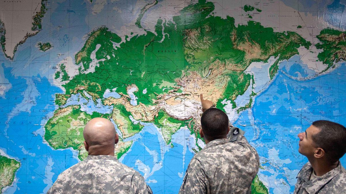
The UN General Assembly has voted to adopt the Equal Earth map projection to better represent the true size of Africa. The resolution, led by Togo, passed with 164 votes, with the United States as the sole dissenter.
A Shift in Global Perspective: The UN Adopts the Equal Earth Map
The United Nations General Assembly has officially moved to modernize global cartography by adopting a resolution to shift away from the long-standing Mercator projection. Spearheaded by Togo and supported by the African Union, this initiative aims to replace the traditional map with the 'Equal Earth' projection, a move intended to provide a more accurate representation of continental landmasses. With 164 countries voting in favor, the decision signals a significant departure from centuries of Eurocentric geographical standards.
The Flaws of the Mercator Legacy
For centuries, the Mercator projection, created by Flemish cartographer Gerardus Mercator in the 16th century, has served as the standard for global visualization. While it was an invaluable tool for maritime navigation due to its ability to represent lines of constant bearing as straight segments, it came at a steep cost to geographical accuracy. The projection drastically distorts the size of landmasses as they move away from the equator. Most notably, it depicts Africa—a massive continent—as being comparable in size to Greenland, despite Africa being approximately 14 times larger in reality.
Decolonizing Cartography
Critics of the Mercator map have long argued that this distortion is not merely a technical nuisance but a psychological and political issue. By shrinking the African continent and inflating the size of North America and Europe, the traditional map has historically minimized the perceived development needs and geographic potential of nations near the equator. The 'Correct the Map' resolution seeks to rectify these imbalances, ensuring that the visual representation of the world better aligns with physical reality and respects the scale of Global South nations.
Diplomatic Divisions and the US Stance
While the resolution saw overwhelming global support—including backing from major powers like France and the UK—it was not without friction. The United States stood as the sole nation to vote against the resolution, while six other countries chose to abstain. This solitary opposition highlights the geopolitical sensitivity surrounding how nations are portrayed on a global stage, suggesting that cartography remains a subject of intense debate regarding influence, perception, and historical legacy.
Implications for Global Education and Policy
By urging member states to adopt the Equal Earth projection, the UN is attempting to standardize a more equitable view of the world. This transition is expected to influence educational materials, international reports, and diplomatic communications. By correcting the visual bias that has persisted since the Age of Discovery, the international community hopes to foster a more nuanced understanding of global demographics and resources, moving away from outdated colonial-era perspectives toward a more scientifically rigorous standard.
Future Trends in Cartographic Representation
Moving forward, the adoption of the Equal Earth projection represents a broader trend toward data-driven accuracy in international governance. As global interconnectedness increases, the demand for maps that correctly represent the scale and importance of all regions will likely grow. This resolution serves as a catalyst for other international bodies to review their own standards, potentially leading to a more consistent, accurate, and inclusive way of viewing our planet in the digital age.
Multiple Citing Sources
Verification Required?