164 nations back Africa’s true size on the map... But why did the US vote no?
Source Entity
Latest News: Todays Latest News Headlines from India & World | Hindustan Times | Hindustan Times
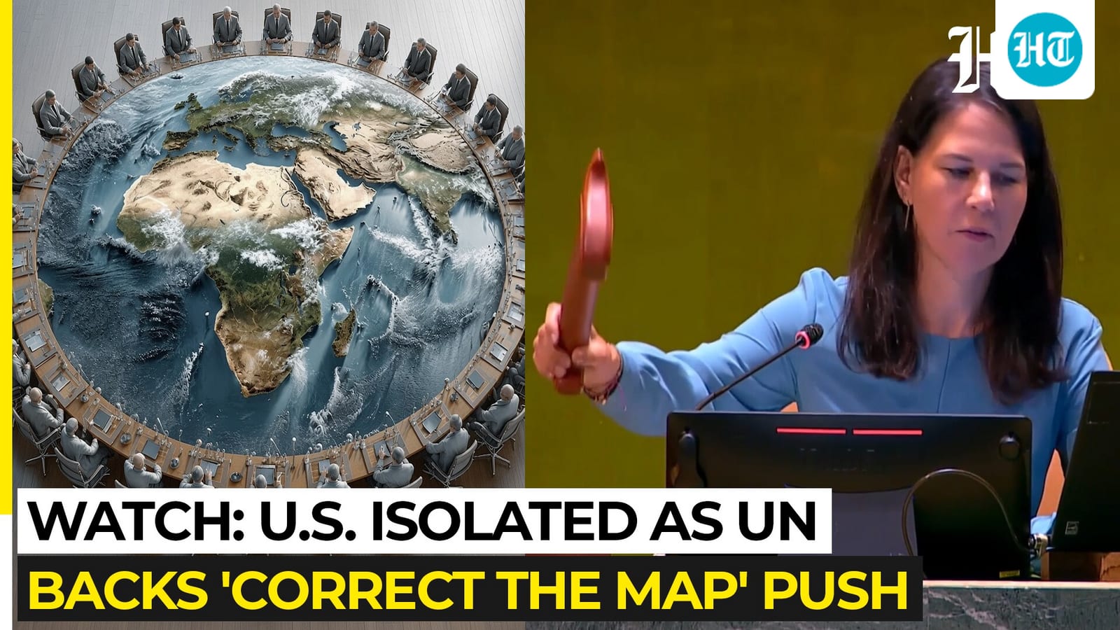
The UN General Assembly has overwhelmingly voted to adopt the Equal Earth projection map, replacing the traditional Mercator projection to better reflect the true size of Africa. While 164 nations supported the change, the United States stood alone in its opposition to the resolution.
A Shift in Global Perspective: The UN Adopts the Equal Earth Map
The United Nations General Assembly has marked a historic shift in cartography by voting to adopt the Equal Earth projection as the standard for representing global landmasses. Spearheaded by Togo and supported by the African Union, this resolution aims to correct long-standing distortions inherent in the traditional Mercator map, which has dominated global education and navigation since the 16th century. With 164 countries voting in favor, the international community has signaled a collective desire for a more equitable and accurate visual representation of the planet.
The Problem with Mercator
For centuries, the Mercator projection has been the default map used in classrooms and navigation. Designed by Flemish cartographer Gerardus Mercator, the map was primarily a tool for maritime navigation, prioritizing straight-line compass bearings. However, this functional design came at a significant cost: extreme distortion of landmass sizes near the poles. Consequently, the Mercator projection makes regions like Greenland appear similar in size to Africa, despite the reality that Africa is approximately 14 times larger. This geographical distortion has historically minimized the perceived scale and, by extension, the geopolitical significance of equatorial nations.
Correcting the Narrative
The "Correct the Map" initiative argues that the visual minimization of Africa on the Mercator projection has broader psychological and economic implications. By presenting a map that more accurately reflects the relative sizes of continents, the UN resolution seeks to address these imbalances. Proponents argue that the Equal Earth projection provides a more realistic view, which is essential for understanding the true scale of development needs and the vast potential of countries situated near the equator. This shift is not merely academic; it is a fundamental correction of a bias that has persisted for over 400 years.
Geopolitical Disparity in Voting
The vote highlighted a striking divide in international consensus, with 164 nations supporting the move and only the United States voting against it. While major powers like France and the United Kingdom aligned with the majority, the U.S. position remains an outlier. This solitary opposition underscores the complex relationship between traditional cartographic standards and national interests, as well as the challenges inherent in rebranding a global standard that has been deeply ingrained in Western educational systems and governmental infrastructure.
Future Implications and Implementation
The adoption of the Equal Earth projection will necessitate a gradual but profound change in how the world is taught and perceived. As member states begin to transition away from the Mercator projection, we can expect significant updates to educational materials, digital mapping services, and official UN documentation. This move will likely influence global discourse by forcing a reconsideration of how size and geography influence our perception of power, resources, and global development. The legacy of this resolution will be measured by how quickly international institutions adapt their visual data to reflect this more accurate, balanced reality.
Multiple Citing Sources
Verification Required?