Centre monitoring 2,485 Himalayan glacial lakes; 56 classified as 'very high risk'
Source Entity
TOI NEWS DESK
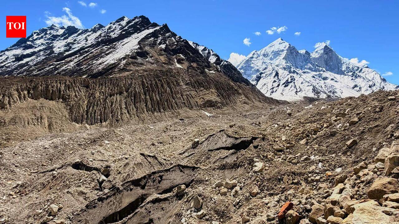
The Indian government is actively monitoring 2,485 Himalayan glacial lakes using remote sensing to mitigate flood risks. Among these, 56 have been identified as 'very high risk' for potential Glacial Lake Outburst Floods (GLOFs).
The Growing Threat of Himalayan Glacial Lake Outbursts
The Indian government has initiated a critical monitoring program for 2,485 Himalayan glacial lakes, utilizing advanced remote sensing technology to track changes in water bodies across four states and two Union Territories. This proactive measure is a response to the increasing instability of high-altitude ecosystems, where rising global temperatures are accelerating the melting of glaciers. By focusing on lakes larger than 10 hectares during the monsoon season (June to October), the Central Water Commission (CWC) aims to establish a robust early warning framework.
Identifying the 'Very High Risk' Zones
A pivotal aspect of this initiative is the 2025 scientific assessment, which has formally classified 56 of these lakes as 'very high risk.' These designations are not merely statistical; they represent a significant threat of Glacial Lake Outburst Floods (GLOFs). A GLOF occurs when the natural dam holding a glacial lake fails, causing a catastrophic release of water and debris downstream. The identification of these 56 specific sites is a crucial step for the National Disaster Management Authority to prioritize mitigation strategies and infrastructure protection.
The Role of Remote Sensing in Disaster Mitigation
The reliance on remote sensing techniques marks a shift toward data-driven disaster management. Given the harsh, often inaccessible terrain of the Himalayas, satellite monitoring provides a consistent and safe method for observing fluctuations in water volume and structural integrity of glacial dams. This technological approach allows for real-time data collection that would be physically impossible to conduct on the ground, ensuring that authorities can track seasonal changes effectively.
Broader Implications for Himalayan Ecology
The monitoring program highlights the broader climate crisis affecting the Himalayan region. As glaciers retreat, they leave behind unstable moraine dams that are prone to failure. The potential for GLOFs poses a direct risk to downstream communities, hydroelectric projects, and critical infrastructure. Addressing these risks is essential for the long-term safety of mountain populations and the sustainability of water resources that feed major river basins in India.
Future Outlook and Policy Integration
Moving forward, the integration of these findings into national policy will be vital. The collaboration between the Ministry of Jal Shakti and the National Disaster Management Authority signifies a coordinated effort to bridge the gap between scientific observation and disaster preparedness. Future trends suggest that as climate change continues to alter the cryosphere, the number of monitored lakes and the sophistication of predictive modeling will likely increase to keep pace with the evolving geological threats.
Conclusion
The systematic oversight of 2,485 Himalayan lakes demonstrates a necessary evolution in India's disaster management protocols. By identifying the 56 high-risk zones, the government is better positioned to implement targeted interventions. Continued investment in satellite monitoring and scientific research remains the most effective strategy for mitigating the catastrophic potential of GLOFs and protecting vulnerable regions from the impacts of a warming planet.