Where is the fire in Reno today? Location, map, latest updates as Hawk Fire moves closer to Lemon Valley; videos emerge
Source Entity
Latest News: Todays Latest News Headlines from India & World | Hindustan Times | Hindustan Times
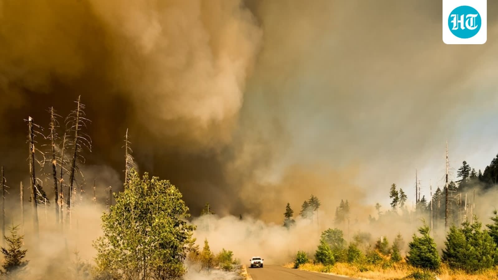
The Hawk Fire has rapidly expanded to approximately 8,000 acres northwest of Reno, Nevada, triggering mandatory evacuations. Emergency crews are battling the blaze on US Forest Service land as it threatens over 1,000 homes in the region.
The Hawk Fire Crisis: An Evolving Threat to Reno
The Hawk Fire, which erupted on Saturday, has rapidly transformed from a localized incident into a major regional emergency. Initially reported as a 30-acre blaze near the Cold Creek Trail in Somersett, the fire demonstrated extreme growth potential due to hazardous fire weather conditions. Within hours, the situation escalated significantly, with the National Interagency Fire Center reporting that the fire has now scorched approximately 8,000 acres of rugged terrain in Washoe County.
Geographical Scope and Impact
The fire’s progression has forced authorities to issue a series of urgent evacuation orders. The blaze is currently concentrated on US Forest Service land within the Humboldt-Toiyabe National Forest, positioned north of Interstate 80 and south of US Highway 395. The rapid expansion has placed significant pressure on the residential areas of Somersett, Peavine Peak, Verdi, Mogul, and Cold Springs. With the fire moving westward toward the Martin Luther King Jr. Highway and extending north to the Sierra Canyon area, the logistical challenge for emergency responders has become immense.
The Mechanics of Evacuation
Emergency management has implemented a structured alert system to manage the safety of residents. The 'GO' level evacuation warnings—the most urgent status—have been issued for the Somersett Peak and South Mountain sectors. Meanwhile, areas south of North Virginia Street remain under a 'SET' alert, indicating that residents should be prepared to leave at a moment's notice. This tiered response is critical given the fire's proximity to approximately 1,000 homes, which remain under direct threat from the advancing flames and heavy smoke blankets covering the surrounding hills.
Environmental and Operational Challenges
The rapid spread of the Hawk Fire is a testament to the volatility of Nevada's high-desert landscape during periods of hazardous weather. Firefighting efforts are currently being conducted by ground crews supported by aerial assets, attempting to contain the fire as it maneuvers through difficult, mountainous terrain. The presence of dense smoke, visible from Peavine Road, not only complicates visibility for fire crews but also poses significant air quality risks to the surrounding Washoe County communities.
Future Outlook and Regional Implications
As the fire continues to burn, the focus remains on containment and the protection of life and property. The transition from an initial 30-acre incident to an 8,000-acre wildfire underscores the critical nature of early intervention and the unpredictable behavior of wildfires in the American West. Moving forward, authorities will likely continue to expand evacuation zones as conditions dictate, with the primary objective being the mitigation of risks to the residential hubs north and northwest of Reno. The ongoing situation serves as a stark reminder of the escalating wildfire risks facing urban-wildland interfaces in the region.
Multiple Citing Sources
Verification Required?