Spokane Valley wildfire live evacuation map: Level 3 evacuations issued as Old Trails Fire tops 2,000 acres
Source Entity
Latest News: Todays Latest News Headlines from India & World | Hindustan Times | Hindustan Times
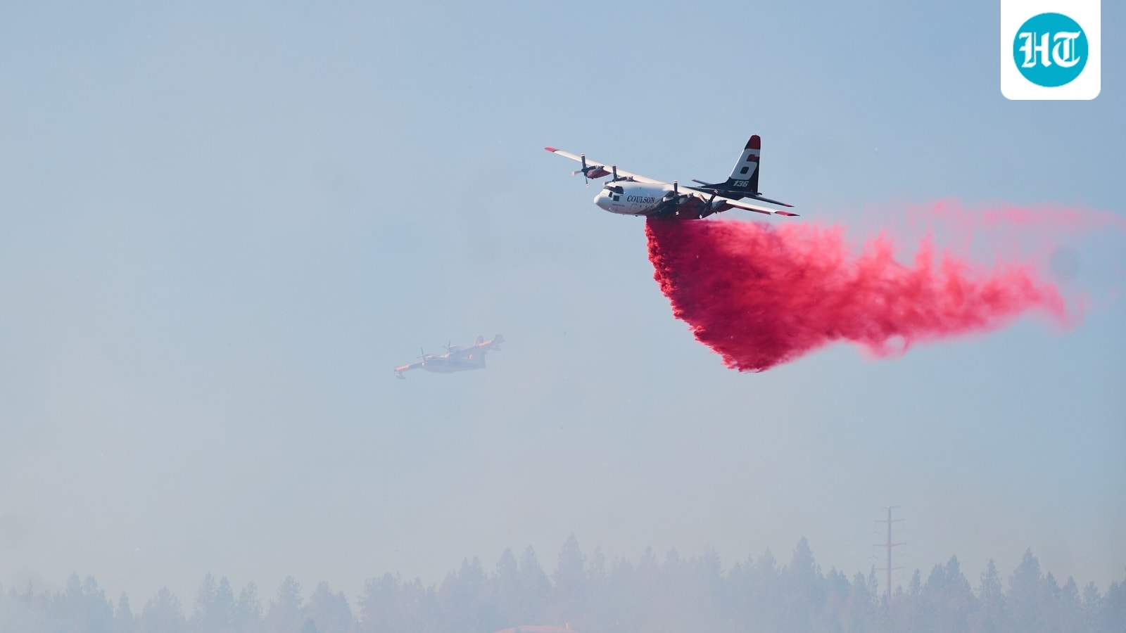
The Old Trails Fire in Spokane Valley has rapidly expanded to 2,000 acres, triggering urgent Level 3 evacuation orders. Emergency management teams are actively managing the blaze as containment efforts continue.
The Old Trails Fire: A Rapid Escalation in Spokane Valley
The Pacific Northwest is currently grappling with the volatile onset of the Old Trails Fire, a fast-moving wildfire that has rapidly scorched over 2,000 acres in Spokane Valley, Washington. Reported first on Saturday afternoon, the fire’s swift expansion has necessitated immediate emergency responses, highlighting the extreme vulnerability of the region to sudden, high-intensity wildfire events. As of 3 pm, the scale of the blaze has placed significant pressure on local emergency management services to coordinate containment and protect residents.
The Severity of Evacuation Protocols
Emergency officials have implemented a tiered evacuation strategy to ensure public safety. Level 3 evacuation orders, which signify an immediate threat to life and property, are currently in effect for the area bounded by Strong Road, Francis Avenue, Five Mile Road, and Cedar Road. Residents in these zones have been instructed to leave immediately, underscoring the critical nature of the fire's progression. Furthermore, Level 2 alerts have been issued for the adjacent area bordered by Price Avenue, Francis Avenue, Cedar Road, and Division Street, signaling that residents should be prepared to evacuate at a moment’s notice.
Environmental and Operational Challenges
Wildfires of this nature, especially those growing to 2,000 acres in such a short window, present immense challenges for aerial and ground-based suppression teams. The use of air tankers to drop fire retardant is a standard, yet vital, tactical maneuver intended to create firebreaks and slow the forward momentum of the flames. The success of these operations is heavily dependent on wind patterns, terrain accessibility, and local humidity levels, all of which are currently being monitored by Spokane County Emergency Management to adjust firefighting strategies in real-time.
Broader Implications for Regional Safety
This incident serves as a stark reminder of the escalating wildfire risks facing communities in the Inland Northwest. As climate patterns shift and dry conditions persist, the threshold for rapid fire growth has lowered significantly. The Spokane Valley event is part of a broader trend where urban-wildland interfaces face increased danger, requiring more robust emergency preparedness and community resilience plans. The speed at which this fire reached its current size demonstrates how quickly a localized ignition can evolve into a regional crisis.
Future Trends and Community Resilience
Looking forward, the ability to manage such incidents will rely heavily on the integration of real-time monitoring tools like WatchDuty and the continued efficiency of local emergency management agencies. As the region navigates this fire, the focus will inevitably shift toward containment and damage assessment. Future mitigation strategies will likely need to emphasize vegetation management and public education regarding evacuation preparedness to ensure that residents can act swiftly when the next inevitable fire season arrives.
Verification Required?