South Carolina tornado: Videos show large twisters near Barnwell, Kline and Allendale
Source Entity
Latest News: Todays Latest News Headlines from India & World | Hindustan Times | Hindustan Times
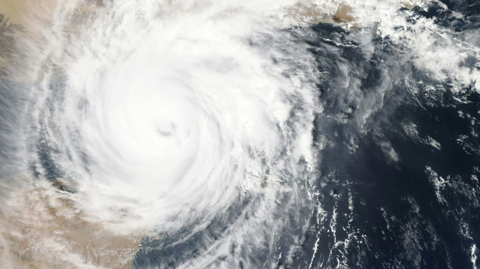
Severe weather systems triggered multiple confirmed tornadoes across South Carolina and Georgia on Saturday, October 10. The storms caused significant damage, including downed trees and structural threats, as authorities issued widespread tornado watches and warnings.
Severe Storm Systems Strike the Southeast
On Saturday, October 10, a series of powerful storm systems swept across the southeastern United States, resulting in confirmed tornado activity in both South Carolina and Georgia. The meteorological event was marked by the emergence of large, visible twisters in the vicinity of Barnwell, Kline, and Allendale, South Carolina. Social media and local news outlets captured alarming footage of these structures, underscoring the severity of the weather system as it moved through the region.
Confirmed Impacts in South Carolina
The National Weather Service (NWS) actively monitored the situation, noting that a confirmed tornado was located approximately five miles south of Appleton in Allendale County at 4:18 p.m. EDT. This specific storm was tracked moving north at 30 mph, traversing the area between Burtons Ferry Bridge and the downtown sector. These developments necessitated the issuance of urgent tornado warnings for multiple counties, urging residents to seek immediate shelter as the volatile conditions persisted throughout the afternoon and evening.
Damage and Escalation in Georgia
Simultaneously, the weather system impacted Screven County, Georgia, where a damaging tornado was confirmed to be moving northeast at 25 mph. Reports indicated structural and environmental damage, particularly along Old Savannah Highway and Highway 21, where numerous trees were downed. The intensity of the storm necessitated an extension of Tornado Watch 679, which encompassed five additional southeast Georgia counties, including Bryan, Chatham, and Liberty, until 8 p.m. local time.
The Importance of Meteorological Preparedness
The NWS maintains a strict distinction between a 'tornado watch' and a 'tornado warning.' A watch signifies that atmospheric conditions are ripe for the development of severe thunderstorms and tornadoes, while a warning indicates that a tornado has been sighted or indicated by radar. The events of October 10 serve as a critical reminder for residents in the southeastern corridor—which is prone to such seasonal instability—to remain vigilant, monitor official weather alerts, and maintain a pre-planned safety strategy for rapid evacuation to secure locations.
Future Trends and Regional Vulnerability
Regions like the South Carolina Lowcountry and coastal Georgia are historically susceptible to rapid-onset severe weather. As climate patterns continue to shift, the frequency and intensity of such storms may present ongoing challenges for local emergency management and infrastructure resilience. The ability of the National Weather Service to provide granular, real-time data—such as the specific tracking of the Appleton tornado—remains the most effective tool in mitigating the risk to human life during these unpredictable weather events.
Multiple Citing Sources
Verification Required?