Kanpur: Ganga Water Level Rises to Warning Mark, Ghats Flooded
Source Entity
Latest News: Todays Latest News Headlines from India & World | Hindustan Times | Hindustan Times
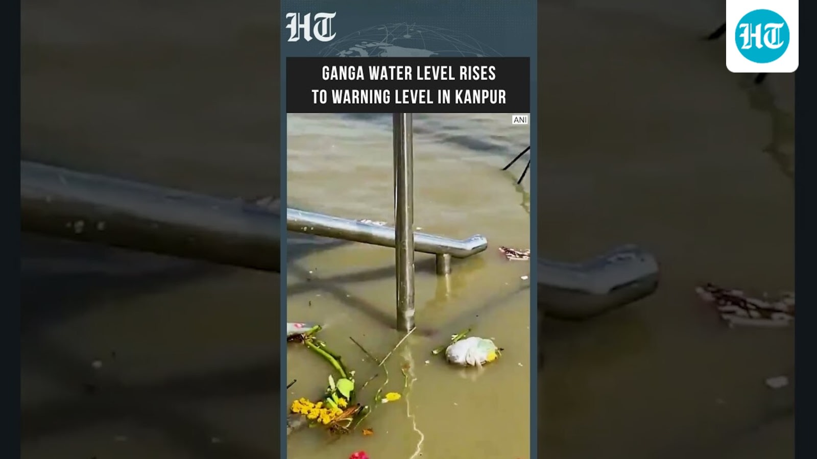
The Ganga river in Kanpur has reached the warning level, causing flooding at major ghats. Local authorities and residents are on alert as water levels continue to threaten nearby low-lying areas.
Ganga River Reaches Warning Level in Kanpur
Recent reports indicate that the water level of the Ganga river in Kanpur, Uttar Pradesh, has surged, hitting the critical warning mark. This hydrological event has resulted in the flooding of major ghats, which are central to the city's cultural and religious activities. As the water encroaches upon these historical and public spaces, the situation has prompted immediate concern among local populations residing in proximity to the riverbanks.
The Impact of Rising Water Levels
The flooding of the ghats is not merely a logistical challenge; it represents a significant disruption to the daily lives of residents who rely on these areas for religious observances and transit. When the Ganga reaches the warning mark, it serves as a precursor to potential displacement for those in low-lying riparian settlements. The inundation of these areas necessitates constant monitoring by local administration to ensure that flood-prevention protocols are effectively activated.
Geographical and Environmental Context
Kanpur’s geographical positioning along the Ganga makes it particularly susceptible to seasonal fluctuations in water volume. During periods of heavy precipitation or upstream discharge, the city often faces these challenges. The current situation highlights the delicate balance between the river's natural flow and the urban infrastructure developed along its banks. Historically, the management of these water levels has been crucial for preventing large-scale damage to the city’s dense riverside neighborhoods.
Broader Implications for Urban Safety
Beyond the immediate flooding, this event underscores the broader implications of climate variability and infrastructure resilience. As water levels approach or exceed warning thresholds, the pressure on municipal services increases, requiring a coordinated effort to manage drainage and potential evacuation needs. The safety of the population in vulnerable zones remains the primary objective, with local authorities tasked with maintaining vigilance as current meteorological trends continue to influence the river's discharge.
Future Trends and Monitoring
Looking ahead, the city must contend with the unpredictability of riverine behavior influenced by monsoon patterns. Continued monitoring of upstream barrages and rainfall data will be essential in forecasting further rises in the water level. The situation remains fluid, and the city’s preparedness in the coming days will be critical to mitigating any risks posed by the ongoing encroachment of floodwaters into urban corridors.
Verification Required?